History and Geological Origins
The Zrmanja River is a defining geographical feature of southern Lika and northern Dalmatia, stretching 69 kilometers from its source to the Adriatic Sea. Its history is deeply rooted in geology, having been known to the ancient Romans as the Tedanius. The river originates at the base of Mount Velebit, emerging from a distinctive, steep, funnel-shaped rock formation called Misije, located under the southern peak of Pljesevica. This spring, situated at the bottom of a nearly 200-meter-high rock face, marks the beginning of a journey that has carved a dramatic landscape over millennia.
The canyon itself is a product of post-ice age changes, where rising sea levels and the river’s persistent flow shaped the stark contrast between white limestone cliffs and green waters. In the 1990s, the Velebit area surrounding the river was declared a nature park, recognizing its ecological and scenic value. However, the region has also faced environmental challenges; in December 2019, an ecological disaster occurred when waste from a former alumina plant was washed into the karst system, affecting water quality. Despite this, the area remains a protected landscape, with ongoing efforts to preserve its natural integrity. The river’s basin covers 907 square kilometers, and its main tributary, the Krupa River, contributes significantly to the region’s unique tufa and travertine formations.
Main Attractions
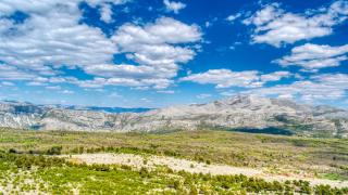
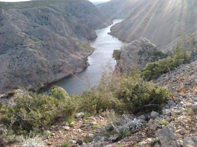
The primary attraction of the Zrmanja is its spectacular canyon, one of the most impressive in Croatia. The landscape is characterized by a striking visual contrast: vibrant green river waters winding through a deep, 200-meter-deep gorge flanked by stark white limestone cliffs. This geological wonder offers breathtaking views from various vantage points along the riverbanks and roads. The canyon is not only a visual delight but also a habitat for diverse flora and fauna, including colorful vegetation, sandy beaches, and meadows that support local wildlife.
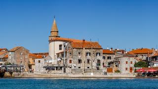
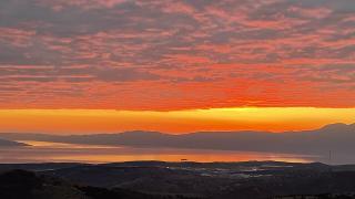
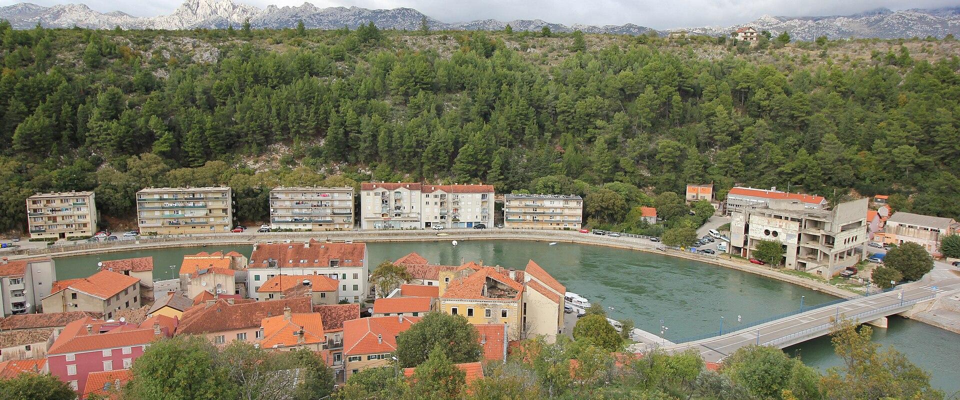
A key landmark is the source of the river at Misije, where the water emerges from the steep rock formation. This site offers a unique perspective on the river’s origins and the powerful forces of nature that shaped it. Further downstream, the confluence with the Krupa River adds to the scenic complexity, with the Krupa’s tufa and travertine deposits creating natural dams and waterfalls. The town of Obrovac, located near the river’s mouth, serves as a gateway to the canyon and offers historical sites that complement the natural beauty. The Novigrad Sea bay, where the Zrmanja empties into the Adriatic, provides a serene endpoint to the river’s journey, blending freshwater and marine ecosystems.
Activities
The Zrmanja is a premier destination for water-based adventure activities, particularly rafting and kayaking. The river’s varying water levels dictate the type of activity available. In spring and autumn, when water levels are higher, rafting trips are popular, offering an exhilarating experience through the canyon’s rapids and calm stretches. During the low water period in July and August, kayaks and canoes are preferred, allowing for a more intimate exploration of the river’s narrow channels and hidden coves. These activities provide a unique perspective of the canyon, enabling visitors to see the white cliffs and waterfalls from the water level.
For those who prefer to stay on land, the canyon offers numerous viewpoints and hiking trails. The roads surrounding Obrovac and the Paklenica/Velebit side of northern Dalmatia provide scenic drives with panoramic views of the canyon. Visitors can also explore the surrounding nature park, engaging in birdwatching and photography. The area supports a local economy driven by tourism, with numerous operators offering guided tours, equipment rentals, and accommodation. Whether seeking adrenaline-pumping rafting or peaceful kayaking, the Zrmanja caters to a wide range of interests.
Getting There
Access to the Zrmanja River and its canyon is primarily via the Zadar region. The most convenient bases for visitors are Zadar, Obrovac, Starigrad, and the Paklenica Riviera. From Zadar, the drive to Obrovac takes approximately one hour, following scenic routes that offer glimpses of the canyon. Public transportation is available, but renting a car is recommended for flexibility, as many viewpoints and activity launch points are located in remote areas. The region is less accessible from Split, making it more suitable for travelers already in the northern Dalmatian area. Road conditions are generally good, but drivers should be cautious of narrow sections and potential weather-related disruptions, especially in winter.
Best Time to Visit
The best time to visit the Zrmanja is during the spring (May) and early autumn (September) months. During these periods, the weather is mild, and the water levels are suitable for rafting and kayaking. The spring months offer fresh, green landscapes, while the autumn months provide clear skies and comfortable temperatures. Summer months can be hot, and the lower water levels may limit certain activities, so planning ahead is essential. The region is accessible year-round, but the optimal experience is found in the shoulder seasons, when the natural beauty is at its peak and the crowds are smaller.
Best time to visit
May and September offer mild weather and ideal water levels for rafting and kayaking.
What to see in Zrmanja
Our picks first.


Zrmanja by interest
The same sights, grouped by what you came for.
Did you know?
Checked facts about Zrmanja, each with its source.
-
History
The Zrmanja's last 10 km run through a canyon
Below Obrovac, the Zrmanja winds for about 10 km through a steep limestone canyon to the Novigrad Sea. It is the river's only navigable stretch and is protected as a significant landscape; the Pariževačka Glavica viewpoint stands on a 200-metre cliff above it.
Source: In Your Pocket
Planning a visit to Zrmanja
Good to know
- Currency
- EUR
- Language
- Croatian
Quick Facts
Book your stay
Questions people ask
More places in Lika
Lika
Plitvice Lakes National Park
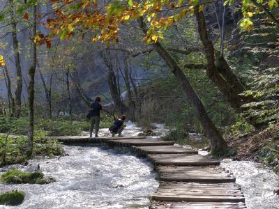
UNESCO park with turquoise lakes, waterfalls, and wooden trails

Lika
Novalja
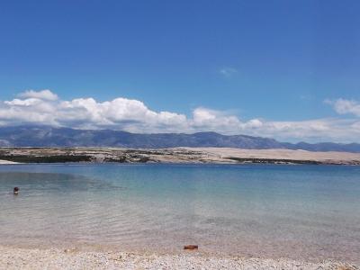
Pag Island’s party town with beaches, nightlife, and lunar landscapes
Lika
Zrće
Pag Island’s legendary party beach with clubs and water sports

Lika
Senj
Adriatic fortress town with mountain views and pebble beaches